Higher Beara Cross
Introduction
The photograph on this page of Higher Beara Cross by Derek Harper as part of the Geograph project.
The Geograph project started in 2005 with the aim of publishing, organising and preserving representative images for every square kilometre of Great Britain, Ireland and the Isle of Man.

There are currently over 7.5m images from over 14,400 individuals and you can help contribute to the project by visiting https://www.geograph.org.uk
Higher Beara Cross
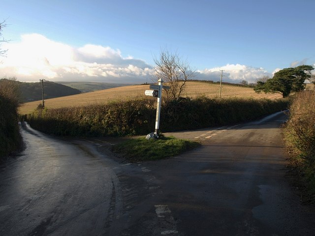
Image: © Derek Harper Taken: 5 Dec 2008
Another, winter, photo of Image The lane on the right, heading along the ridge towards High Beara and Five Lanes, was once the main road from Ashburton to Totnes. Green Lane, on the left, drops to the Dart valley.
Images are licensed for reuse under creativecommons.org/licenses/by-sa/2.0
Image Location
Latitude
50.480181
Longitude
-3.751021