Chalkhill Road, W6
Introduction
The photograph on this page of Chalkhill Road, W6 by Phillip Perry as part of the Geograph project.
The Geograph project started in 2005 with the aim of publishing, organising and preserving representative images for every square kilometre of Great Britain, Ireland and the Isle of Man.

There are currently over 7.5m images from over 14,400 individuals and you can help contribute to the project by visiting https://www.geograph.org.uk
Chalkhill Road, W6
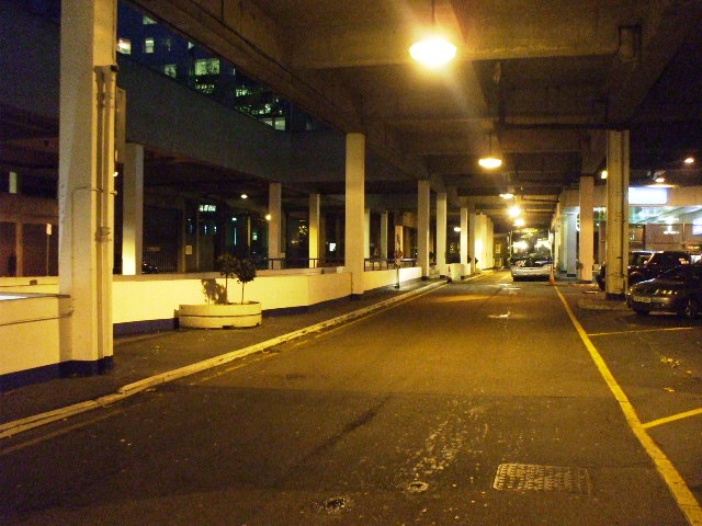
Image: © Phillip Perry Taken: 17 Nov 2008
This 'U' shaped cul-de-sac is about 85% under shelter, beyond the white wall on the left is a ramp leading to an underground car-park belonging to the Novotel.
Images are licensed for reuse under creativecommons.org/licenses/by-sa/2.0
Image Location
Latitude
51.492388
Longitude
-0.220592