The Road to the Downs
Introduction
The photograph on this page of The Road to the Downs by Tony Atkin as part of the Geograph project.
The Geograph project started in 2005 with the aim of publishing, organising and preserving representative images for every square kilometre of Great Britain, Ireland and the Isle of Man.

There are currently over 7.5m images from over 14,400 individuals and you can help contribute to the project by visiting https://www.geograph.org.uk
The Road to the Downs
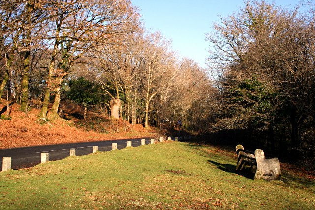
Image: © Tony Atkin Taken: 7 Dec 2008
This minor road leaves the A386 at Horrabridge and zigzags its way up the hillside onto the downland above the village.
Images are licensed for reuse under creativecommons.org/licenses/by-sa/2.0
Image Location
Latitude
50.502536
Longitude
-4.101156