Golf course (2)
Introduction
The photograph on this page of Golf course (2) by Mike Dodman as part of the Geograph project.
The Geograph project started in 2005 with the aim of publishing, organising and preserving representative images for every square kilometre of Great Britain, Ireland and the Isle of Man.

There are currently over 7.5m images from over 14,400 individuals and you can help contribute to the project by visiting https://www.geograph.org.uk
Golf course (2)
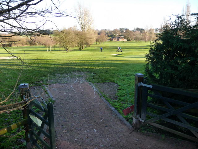
Image: © Mike Dodman Taken: 10 Dec 2008
Looking across the golf course to the club house in the distance, showing the gate out onto the road, which leads to the rest of the course on the opposite side of Crutch Lane, the old roman road north out of Droitwich. See Image
Images are licensed for reuse under creativecommons.org/licenses/by-sa/2.0
Image Location
Latitude
52.27937
Longitude
-2.141693