Datchet: High Street level crossing
Introduction
The photograph on this page of Datchet: High Street level crossing by Nigel Cox as part of the Geograph project.
The Geograph project started in 2005 with the aim of publishing, organising and preserving representative images for every square kilometre of Great Britain, Ireland and the Isle of Man.

There are currently over 7.5m images from over 14,400 individuals and you can help contribute to the project by visiting https://www.geograph.org.uk
Datchet: High Street level crossing
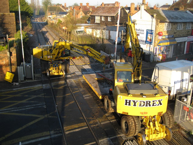
Image: © Nigel Cox Taken: 7 Dec 2008
Sunday morning maintenance work on the level crossing is in progress by Balfour Beatty here. The cranes are hired in from Hydrex http://www.hydrex.co.uk/pages/aboutus.htm and have both road wheels with tyres and steel rail wheels with flanges. From a Geograph point of view the Ordnance Survey large scale maps show the 177000 Northing grid line just clipping across the top of the far corner of the level crossing here.
Images are licensed for reuse under creativecommons.org/licenses/by-sa/2.0
Image Location
Latitude
51.483262
Longitude
-0.579992