Approaching Retford
Introduction
The photograph on this page of Approaching Retford by roger geach as part of the Geograph project.
The Geograph project started in 2005 with the aim of publishing, organising and preserving representative images for every square kilometre of Great Britain, Ireland and the Isle of Man.

There are currently over 7.5m images from over 14,400 individuals and you can help contribute to the project by visiting https://www.geograph.org.uk
Approaching Retford
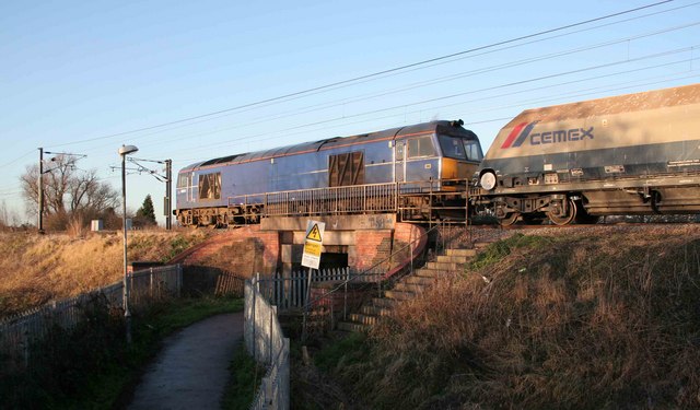
Image: © roger geach Taken: 9 Dec 2008
Return stone empties for the Peak district approach Retford. This path leads towards Thrumpton school under the East Coast Main Line.
Images are licensed for reuse under creativecommons.org/licenses/by-sa/2.0
Image Location


Leaflet Map data © OpenStreetMap
Latitude
53.310778
Longitude
-0.939151