Field near Barkingdon Manor
Introduction
The photograph on this page of Field near Barkingdon Manor by Derek Harper as part of the Geograph project.
The Geograph project started in 2005 with the aim of publishing, organising and preserving representative images for every square kilometre of Great Britain, Ireland and the Isle of Man.

There are currently over 7.5m images from over 14,400 individuals and you can help contribute to the project by visiting https://www.geograph.org.uk
Field near Barkingdon Manor
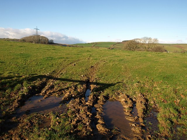
Image: © Derek Harper Taken: 5 Dec 2008
With one of the pylons that are fairly ubiquitous around here, and Tor Hill Plantation behind it. The more distant hilltop wood is Penn Plantation, in Image
Images are licensed for reuse under creativecommons.org/licenses/by-sa/2.0
Image Location
Latitude
50.4759
Longitude
-3.724508