Gold Zone Two, Bostall Heath
Introduction
The photograph on this page of Gold Zone Two, Bostall Heath by Stephen Craven as part of the Geograph project.
The Geograph project started in 2005 with the aim of publishing, organising and preserving representative images for every square kilometre of Great Britain, Ireland and the Isle of Man.

There are currently over 7.5m images from over 14,400 individuals and you can help contribute to the project by visiting https://www.geograph.org.uk
Gold Zone Two, Bostall Heath
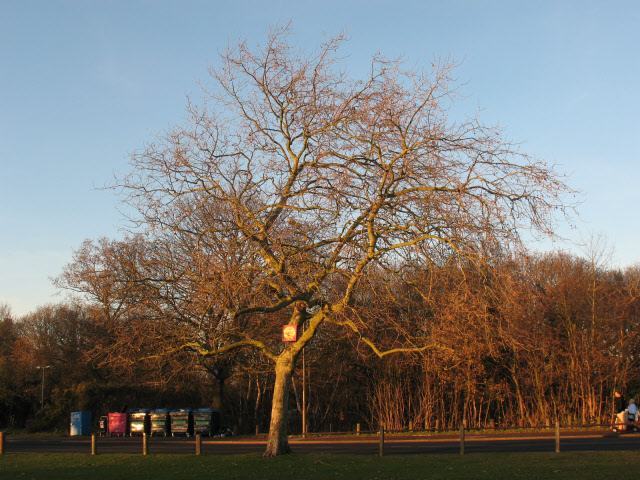
Image: © Stephen Craven Taken: 7 Dec 2008
The marker on the tree trunk identifies it as being in the Gold Zone 2. The 42 coloured zones of Bostall Heath and Woods (gold for the heath, blue and green for the two woodlands) help locate incidents for emergency response purposes. Each zone is approximately 150 metres square.
Images are licensed for reuse under creativecommons.org/licenses/by-sa/2.0
Image Location
Latitude
51.481262
Longitude
0.118721