Greenfield Street, Pontlottyn
Introduction
The photograph on this page of Greenfield Street, Pontlottyn by Robin Drayton as part of the Geograph project.
The Geograph project started in 2005 with the aim of publishing, organising and preserving representative images for every square kilometre of Great Britain, Ireland and the Isle of Man.

There are currently over 7.5m images from over 14,400 individuals and you can help contribute to the project by visiting https://www.geograph.org.uk
Greenfield Street, Pontlottyn
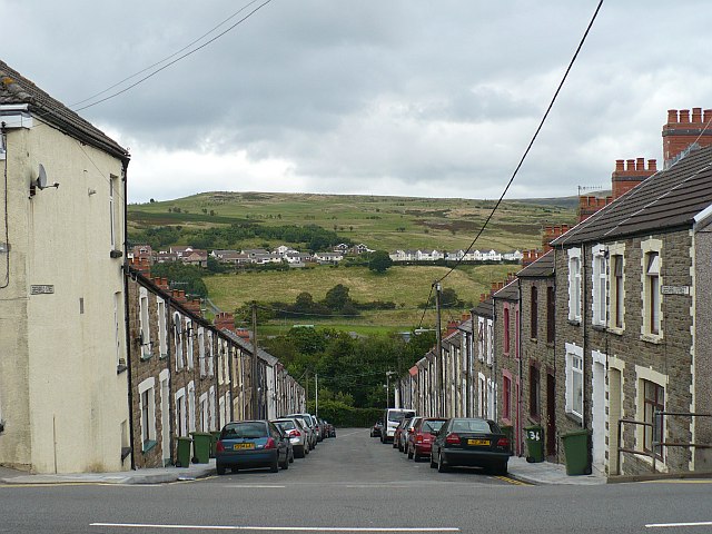
Image: © Robin Drayton Taken: 23 Aug 2008
From the A469, this is the view down one of the steep streets of terraced houses that have been built on this side of the Rhymney Valley. Across the valley at the right, Carn Y Tyla Terrace, Abertwssyg can be seen http://www.geograph.org.uk/photo/987915 .
Images are licensed for reuse under creativecommons.org/licenses/by-sa/2.0
Image Location
Latitude
51.743497
Longitude
-3.277709