M4 Motorway near Datchet
Introduction
The photograph on this page of M4 Motorway near Datchet by Nigel Cox as part of the Geograph project.
The Geograph project started in 2005 with the aim of publishing, organising and preserving representative images for every square kilometre of Great Britain, Ireland and the Isle of Man.

There are currently over 7.5m images from over 14,400 individuals and you can help contribute to the project by visiting https://www.geograph.org.uk
M4 Motorway near Datchet
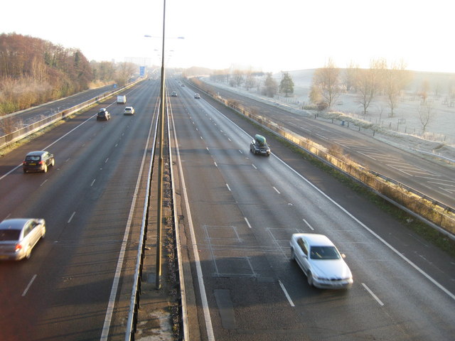
Image: © Nigel Cox Taken: 7 Dec 2008
Looking straight down the central reservation towards Junction 5 from Image, the B470 Major's Farm Road is on the right and Riding Court Road is on the left. A glance at the 1881 Ordnance Survey map of Berkshire shows that there was a track here then that the motorway now follows. However the major feature on the track then was an animal pound...
Images are licensed for reuse under creativecommons.org/licenses/by-sa/2.0
Image Location
Latitude
51.488171
Longitude
-0.554922