The Shore Circular Path (from Clydeshore Road)
Introduction
The photograph on this page of The Shore Circular Path (from Clydeshore Road) by Lairich Rig as part of the Geograph project.
The Geograph project started in 2005 with the aim of publishing, organising and preserving representative images for every square kilometre of Great Britain, Ireland and the Isle of Man.

There are currently over 7.5m images from over 14,400 individuals and you can help contribute to the project by visiting https://www.geograph.org.uk
The Shore Circular Path (from Clydeshore Road)
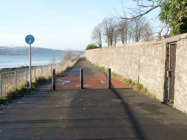
Image: © Lairich Rig Taken: 3 Dec 2008
This photograph was taken from exactly the same place (but facing in the opposite direction) as this one: Image When following this route, there is the option of leaving the shore at more than one place, depending on the length of Circular Path desired: either at Havoc Road (Image), or, a little further on, at a point beside a sewage works (Image). It is also possible to continue further along the shoreline, following a right of way to Ardoch (Image); this soon becomes impassable for cyclists, but pedestrians can walk along the beach (tide allowing). The locked gate visible in this photograph provides access to a water pumping station: Image See Image for a view in the opposite direction along the path.
Images are licensed for reuse under creativecommons.org/licenses/by-sa/2.0
Image Location
Latitude
55.938225
Longitude
-4.578854