Stream, Turbary Common
Introduction
The photograph on this page of Stream, Turbary Common by Mike Faherty as part of the Geograph project.
The Geograph project started in 2005 with the aim of publishing, organising and preserving representative images for every square kilometre of Great Britain, Ireland and the Isle of Man.

There are currently over 7.5m images from over 14,400 individuals and you can help contribute to the project by visiting https://www.geograph.org.uk
Stream, Turbary Common
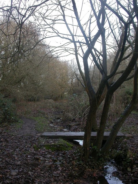
Image: © Mike Faherty Taken: 8 Dec 2008
Turbary Common is a jewel of countryside hemmed in by housing development & industrial estates. This stream drains the valley mire of Tussock Bog Image
Images are licensed for reuse under creativecommons.org/licenses/by-sa/2.0
Image Location


Leaflet Map data © OpenStreetMap
Latitude
50.752468
Longitude
-1.909551