SKLR over Gas Road, North
Introduction
The photograph on this page of SKLR over Gas Road, North by David Anstiss as part of the Geograph project.
The Geograph project started in 2005 with the aim of publishing, organising and preserving representative images for every square kilometre of Great Britain, Ireland and the Isle of Man.

There are currently over 7.5m images from over 14,400 individuals and you can help contribute to the project by visiting https://www.geograph.org.uk
SKLR over Gas Road, North
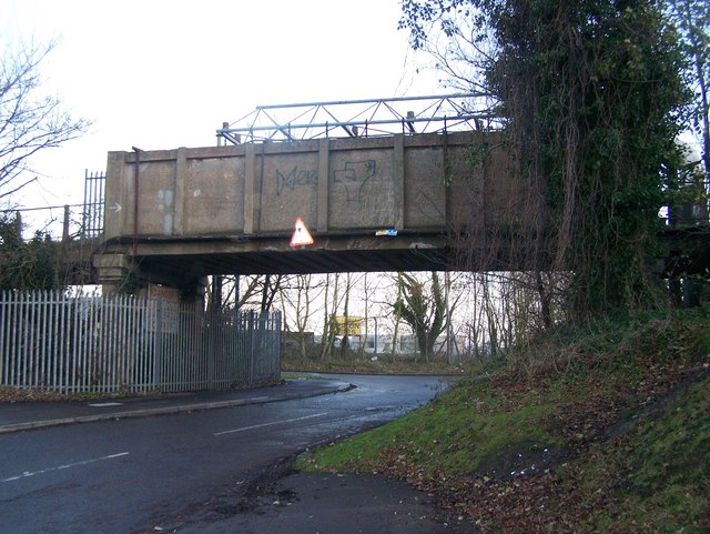
Image: © David Anstiss Taken: 4 Dec 2008
Sittingbourne and Kemsley Light Railway, a conservation steam railway line goes from Sittingbourne to Kemsley Down, near papermill. Currently under threat of closure, due to papermill closure. See http://www.sklr.net for more details. In background, Store Area for Milton Pipes, (on Roman Burial Ground).
Images are licensed for reuse under creativecommons.org/licenses/by-sa/2.0
Image Location


Leaflet Map data © OpenStreetMap
Latitude
51.348311
Longitude
0.73644