Lane at Robberby
Introduction
The photograph on this page of Lane at Robberby by Andrew Smith as part of the Geograph project.
The Geograph project started in 2005 with the aim of publishing, organising and preserving representative images for every square kilometre of Great Britain, Ireland and the Isle of Man.

There are currently over 7.5m images from over 14,400 individuals and you can help contribute to the project by visiting https://www.geograph.org.uk
Lane at Robberby
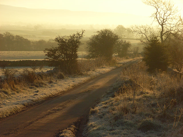
Image: © Andrew Smith Taken: 29 Nov 2008
The narrow road heads to the A686. The Pennine slopes are just visible through the haze.
Images are licensed for reuse under creativecommons.org/licenses/by-sa/2.0
Image Location
Latitude
54.720024
Longitude
-2.636469