Lane near Parkfield
Introduction
The photograph on this page of Lane near Parkfield by Derek Harper as part of the Geograph project.
The Geograph project started in 2005 with the aim of publishing, organising and preserving representative images for every square kilometre of Great Britain, Ireland and the Isle of Man.

There are currently over 7.5m images from over 14,400 individuals and you can help contribute to the project by visiting https://www.geograph.org.uk
Lane near Parkfield
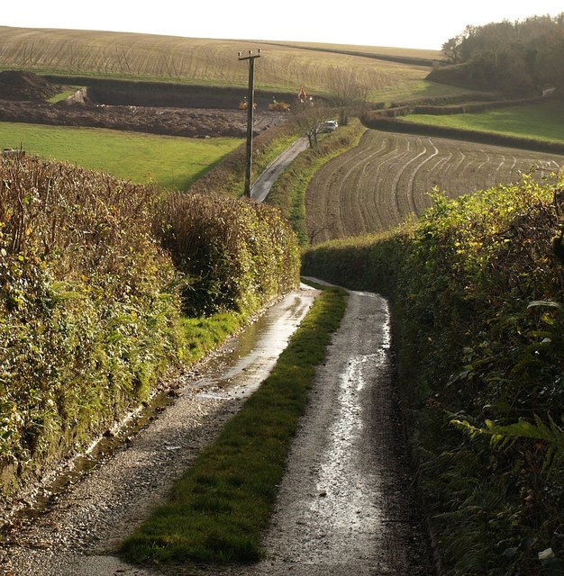
Image: © Derek Harper Taken: 4 Dec 2008
The lane shown in Image drops to cross a re-entrant on its way to Higher Penn. Work is busily underway on the far side, perhaps preparing for new farm buildings.
Images are licensed for reuse under creativecommons.org/licenses/by-sa/2.0
Image Location
Latitude
50.497978
Longitude
-3.745757