View across Cwm Crai towards Glasfynydd Forest
Introduction
The photograph on this page of View across Cwm Crai towards Glasfynydd Forest by Alan Bowring as part of the Geograph project.
The Geograph project started in 2005 with the aim of publishing, organising and preserving representative images for every square kilometre of Great Britain, Ireland and the Isle of Man.

There are currently over 7.5m images from over 14,400 individuals and you can help contribute to the project by visiting https://www.geograph.org.uk
View across Cwm Crai towards Glasfynydd Forest
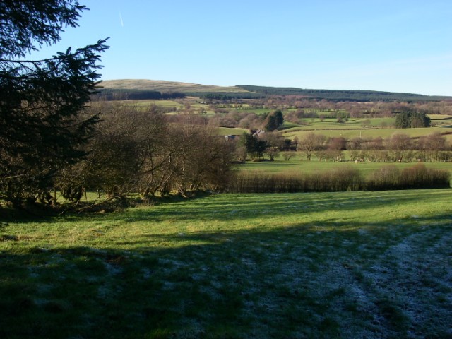
Image: © Alan Bowring Taken: 7 Dec 2008
The Crai valley is one of the gentler incursions made by Usk-bound rivers into the Old Red Sandstone uplands to the south of the major river. Moel Feity forms the left-hand skyline.
Images are licensed for reuse under creativecommons.org/licenses/by-sa/2.0
Image Location
Latitude
51.893921
Longitude
-3.627564