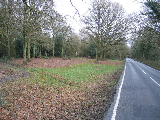
Holmwood Common, from Mill Lane
Introduction
The photograph on this page of Holmwood Common, from Mill Lane by Pip Rolls as part of the Geograph project.
The Geograph project started in 2005 with the aim of publishing, organising and preserving representative images for every square kilometre of Great Britain, Ireland and the Isle of Man.
There are currently over 7.5m images from over 14,400 individuals and you can help contribute to the project by visiting https://www.geograph.org.uk

Image: © Pip Rolls Taken: 17 Jan 2006
Part of the ancient Manor of Dorking, Holmwood Common was owned by King Harold before the Norman Conquest. Until the 19th-century the common was woodland. This changed when commoners began to use it for turf, timber and grazing, slowly transforming it into wood pasture. Some ancient oaks still survive today - almost 200 years on. In the 1920s commoning began to dwindle and the grassland returned to woodland.

