Castle and Fore Streets, Framlingham
Introduction
The photograph on this page of Castle and Fore Streets, Framlingham by Geographer as part of the Geograph project.
The Geograph project started in 2005 with the aim of publishing, organising and preserving representative images for every square kilometre of Great Britain, Ireland and the Isle of Man.

There are currently over 7.5m images from over 14,400 individuals and you can help contribute to the project by visiting https://www.geograph.org.uk
Castle and Fore Streets, Framlingham
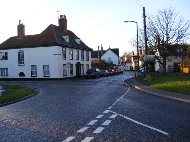
Image: © Geographer Taken: 7 Dec 2008
At the junction with the B1120 Badingham Road near Jeaffreson's Well. Ahead for Castle Street. Left for Fore Street.
Images are licensed for reuse under creativecommons.org/licenses/by-sa/2.0
Image Location
Latitude
52.222333
Longitude
1.348397