Shoreham Road
Introduction
The photograph on this page of Shoreham Road by Simon Carey as part of the Geograph project.
The Geograph project started in 2005 with the aim of publishing, organising and preserving representative images for every square kilometre of Great Britain, Ireland and the Isle of Man.

There are currently over 7.5m images from over 14,400 individuals and you can help contribute to the project by visiting https://www.geograph.org.uk
Shoreham Road
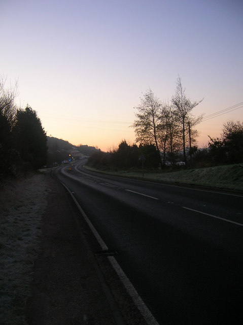
Image: © Simon Carey Taken: 7 Dec 2008
Taken at dawn after a frosty night. The A283 is a relatively new road having been built in 1807 to replace the ancient route that went across the Downs via Mill Hill and descended into Upper Beeding by The Bostal. The houses of Dacre Gardens are in the distance.
Images are licensed for reuse under creativecommons.org/licenses/by-sa/2.0
Image Location
Latitude
50.86935
Longitude
-0.298285