Bramble Close Attenborough
Introduction
The photograph on this page of Bramble Close Attenborough by Andy Jamieson as part of the Geograph project.
The Geograph project started in 2005 with the aim of publishing, organising and preserving representative images for every square kilometre of Great Britain, Ireland and the Isle of Man.

There are currently over 7.5m images from over 14,400 individuals and you can help contribute to the project by visiting https://www.geograph.org.uk
Bramble Close Attenborough
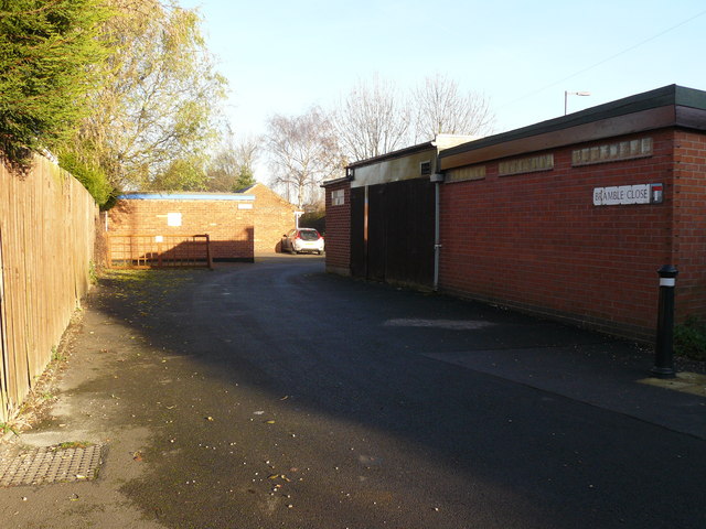
Image: © Andy Jamieson Taken: 7 Dec 2008
Four Bungalows built on a thin strip of land between garden ends and Attenborough Station.Used to be my playground as a kid old farm of some kind used to be there a pigsty built of stone and a chicken coop wooden which soon got demolished by the local kids.
Images are licensed for reuse under creativecommons.org/licenses/by-sa/2.0
Image Location
Latitude
52.905456
Longitude
-1.232767