Ranson Road Chilwell
Introduction
The photograph on this page of Ranson Road Chilwell by Andy Jamieson as part of the Geograph project.
The Geograph project started in 2005 with the aim of publishing, organising and preserving representative images for every square kilometre of Great Britain, Ireland and the Isle of Man.

There are currently over 7.5m images from over 14,400 individuals and you can help contribute to the project by visiting https://www.geograph.org.uk
Ranson Road Chilwell
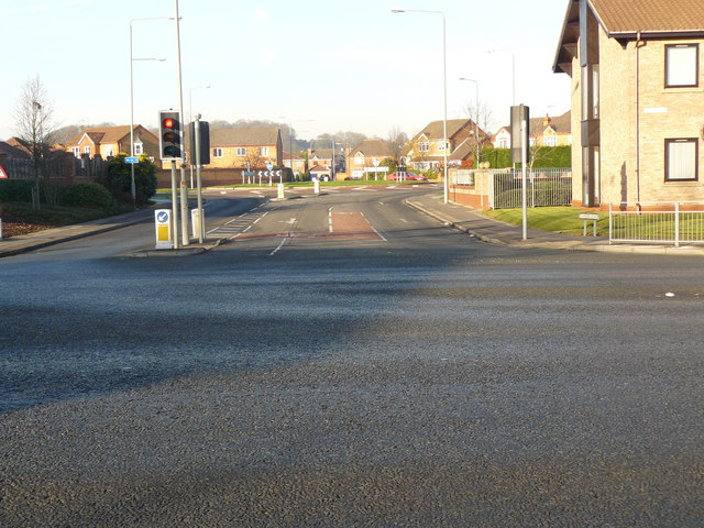
Image: © Andy Jamieson Taken: 7 Dec 2008
Years ago one of the gate entrances to MOD Chilwell land sold of for housing etc
Images are licensed for reuse under creativecommons.org/licenses/by-sa/2.0
Image Location
Latitude
52.905763
Longitude
-1.23856