Wyatts Farm Open Space
Introduction
The photograph on this page of Wyatts Farm Open Space by Martin Addison as part of the Geograph project.
The Geograph project started in 2005 with the aim of publishing, organising and preserving representative images for every square kilometre of Great Britain, Ireland and the Isle of Man.

There are currently over 7.5m images from over 14,400 individuals and you can help contribute to the project by visiting https://www.geograph.org.uk
Wyatts Farm Open Space
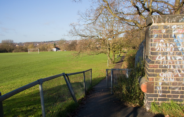
Image: © Martin Addison Taken: 6 Dec 2008
Taken from the footbridge leading to Walfield Avenue, this view is looking across the recreation ground towards Barnet. The white house is on the end of Sherrards Way. The slope on the pitches, on the side of the Dollis Valley, is very apparent in this view.
Images are licensed for reuse under creativecommons.org/licenses/by-sa/2.0
Image Location
Latitude
51.639134
Longitude
-0.184794