St. Margarets Avenue
Introduction
The photograph on this page of St. Margarets Avenue by Martin Addison as part of the Geograph project.
The Geograph project started in 2005 with the aim of publishing, organising and preserving representative images for every square kilometre of Great Britain, Ireland and the Isle of Man.

There are currently over 7.5m images from over 14,400 individuals and you can help contribute to the project by visiting https://www.geograph.org.uk
St. Margarets Avenue
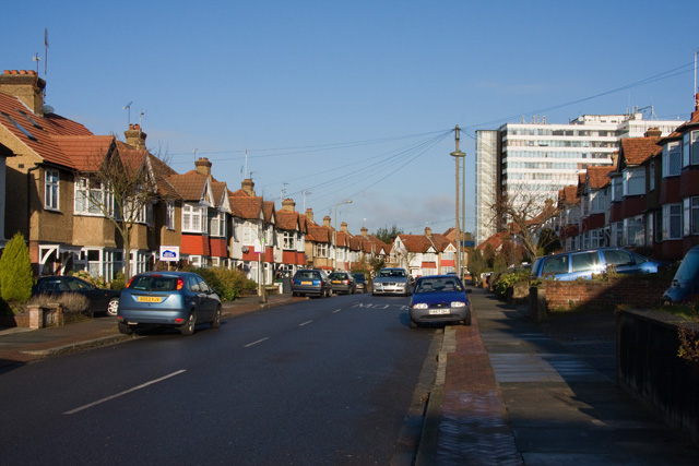
Image: © Martin Addison Taken: 6 Dec 2008
The straight section of this popular cut through runs parallel with the High Road. The white office block is Northway House.
Images are licensed for reuse under creativecommons.org/licenses/by-sa/2.0
Image Location
Latitude
51.631909
Longitude
-0.17699