Cryfield Grange Road
Introduction
The photograph on this page of Cryfield Grange Road by E Gammie as part of the Geograph project.
The Geograph project started in 2005 with the aim of publishing, organising and preserving representative images for every square kilometre of Great Britain, Ireland and the Isle of Man.

There are currently over 7.5m images from over 14,400 individuals and you can help contribute to the project by visiting https://www.geograph.org.uk
Cryfield Grange Road
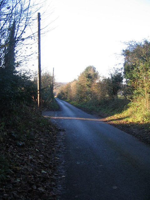
Image: © E Gammie Taken: 6 Dec 2008
Cryfield Grange Road is a narrow lane between Kenilworth Road and Crackley Lane running past Cryfield Grange. This section is between the city boundary and Cryfield Grange.
Images are licensed for reuse under creativecommons.org/licenses/by-sa/2.0
Image Location
Latitude
52.370065
Longitude
-1.559182