Bend in the River Clywedog
Introduction
The photograph on this page of Bend in the River Clywedog by AntJB as part of the Geograph project.
The Geograph project started in 2005 with the aim of publishing, organising and preserving representative images for every square kilometre of Great Britain, Ireland and the Isle of Man.

There are currently over 7.5m images from over 14,400 individuals and you can help contribute to the project by visiting https://www.geograph.org.uk
Bend in the River Clywedog
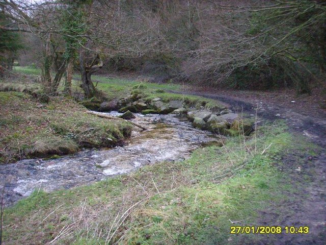
Image: © AntJB Taken: 27 Jan 2008
Just along the Clywedog Trail from Minera lead mines before Nant Mill
Images are licensed for reuse under creativecommons.org/licenses/by-sa/2.0
Image Location
Latitude
53.045863
Longitude
-3.070363