Boghall
Introduction
The photograph on this page of Boghall by Richard Webb as part of the Geograph project.
The Geograph project started in 2005 with the aim of publishing, organising and preserving representative images for every square kilometre of Great Britain, Ireland and the Isle of Man.

There are currently over 7.5m images from over 14,400 individuals and you can help contribute to the project by visiting https://www.geograph.org.uk
Boghall
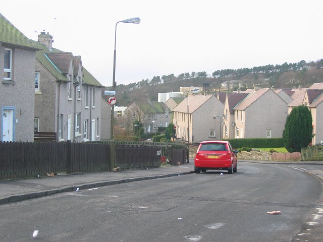
Image: © Richard Webb Taken: 16 Jan 2006
Housing scheme on the east side of Bathgate. The old map just shows hilly farmland. View west. The houses were built to take in overspill from Glasgow and house the workers for the truck factory, now itself a big new housing project.
Images are licensed for reuse under creativecommons.org/licenses/by-sa/2.0
Image Location
Latitude
55.898173
Longitude
-3.610389