St Andrews Road, Montpelier
Introduction
The photograph on this page of St Andrews Road, Montpelier by George Evans as part of the Geograph project.
The Geograph project started in 2005 with the aim of publishing, organising and preserving representative images for every square kilometre of Great Britain, Ireland and the Isle of Man.

There are currently over 7.5m images from over 14,400 individuals and you can help contribute to the project by visiting https://www.geograph.org.uk
St Andrews Road, Montpelier
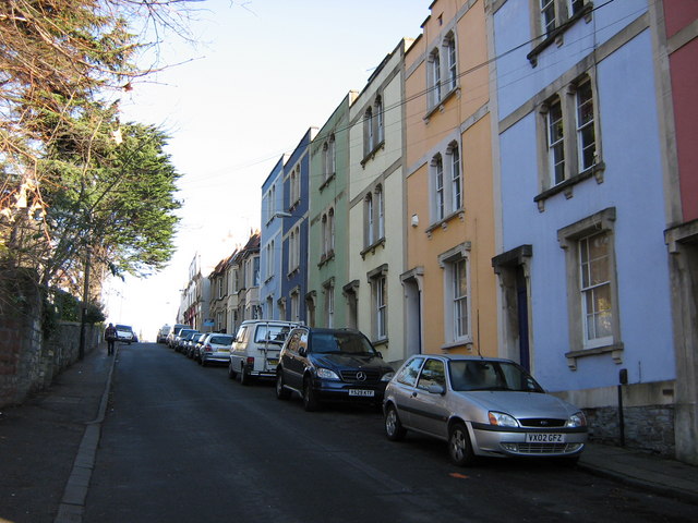
Image: © George Evans Taken: 6 Dec 2008
Coloured houses ascending the hill over the railway tunnel towards St Andrews.
Images are licensed for reuse under creativecommons.org/licenses/by-sa/2.0
Image Location
Latitude
51.467633
Longitude
-2.587741