Glevum Way, near Churchdown
Introduction
The photograph on this page of Glevum Way, near Churchdown by Brian Robert Marshall as part of the Geograph project.
The Geograph project started in 2005 with the aim of publishing, organising and preserving representative images for every square kilometre of Great Britain, Ireland and the Isle of Man.

There are currently over 7.5m images from over 14,400 individuals and you can help contribute to the project by visiting https://www.geograph.org.uk
Glevum Way, near Churchdown
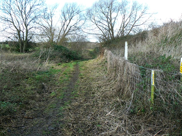
Image: © Brian Robert Marshall Taken: 5 Dec 2008
The Glevum Way was devised by the Gloucester Ramblers Group as part of the Ramblers Association Diamond Jubilee celebrations dating it to 1995. The footpath itself is rather older and is shown on my 1980s vintage Landranger map. The fence at the right is to stop people sneaking into the Gloucestershire Airfield.
Images are licensed for reuse under creativecommons.org/licenses/by-sa/2.0
Image Location
Latitude
51.891831
Longitude
-2.175489