Oak Lane
Introduction
The photograph on this page of Oak Lane by Martin Addison as part of the Geograph project.
The Geograph project started in 2005 with the aim of publishing, organising and preserving representative images for every square kilometre of Great Britain, Ireland and the Isle of Man.

There are currently over 7.5m images from over 14,400 individuals and you can help contribute to the project by visiting https://www.geograph.org.uk
Oak Lane
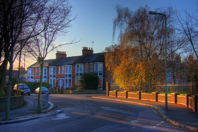
Image: © Martin Addison Taken: 2 Dec 2008
Looking towards the junction with New Oak Road from the junction with Taunton Drive (foreground). Blackbirds sit at the top of the Silver Birch tree, squabbling about territories. It is a bright cold morning.
Images are licensed for reuse under creativecommons.org/licenses/by-sa/2.0
Image Location
Latitude
51.59554
Longitude
-0.174404