A New Slant on Road Safety
Introduction
The photograph on this page of A New Slant on Road Safety by Martin Addison as part of the Geograph project.
The Geograph project started in 2005 with the aim of publishing, organising and preserving representative images for every square kilometre of Great Britain, Ireland and the Isle of Man.

There are currently over 7.5m images from over 14,400 individuals and you can help contribute to the project by visiting https://www.geograph.org.uk
A New Slant on Road Safety
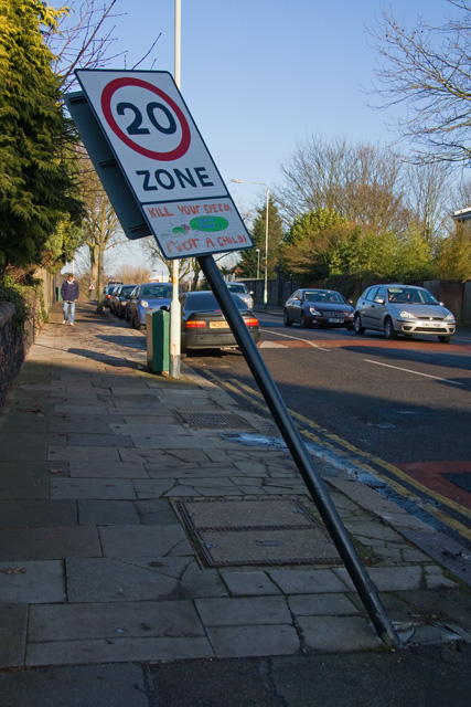
Image: © Martin Addison Taken: 3 Dec 2008
This sign indicating that Woodside Avenue is a 20mph zone has been partially flattened by a truck. The cracked paving stones might have given the council workers a clue that lorries regularly mount the pavement here when turning into Woodside Avenue. Beyond is the bridge over the Northern Line tracks to Highgate Depot.
Images are licensed for reuse under creativecommons.org/licenses/by-sa/2.0
Image Location
Latitude
51.583329
Longitude
-0.158294