Crossroads
Introduction
The photograph on this page of Crossroads by Richard Dorrell as part of the Geograph project.
The Geograph project started in 2005 with the aim of publishing, organising and preserving representative images for every square kilometre of Great Britain, Ireland and the Isle of Man.

There are currently over 7.5m images from over 14,400 individuals and you can help contribute to the project by visiting https://www.geograph.org.uk
Crossroads
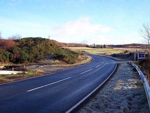
Image: © Richard Dorrell Taken: 3 Dec 2008
The A850 sweeps in the direction of Portree. To the left is Brookside and to the right, Suladale.
Images are licensed for reuse under creativecommons.org/licenses/by-sa/2.0
Image Location
Latitude
57.495372
Longitude
-6.373804