What the Dick Inns, Rochester
Introduction
The photograph on this page of What the Dick Inns, Rochester by David Anstiss as part of the Geograph project.
The Geograph project started in 2005 with the aim of publishing, organising and preserving representative images for every square kilometre of Great Britain, Ireland and the Isle of Man.

There are currently over 7.5m images from over 14,400 individuals and you can help contribute to the project by visiting https://www.geograph.org.uk
What the Dick Inns, Rochester
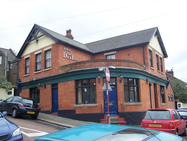
Image: © David Anstiss Taken: 30 Nov 2008
On junction of Ross Street and St Peter's Street. Nice wordplay name, on (Charles) Dickens and Inn (meaning pub).
Images are licensed for reuse under creativecommons.org/licenses/by-sa/2.0
Image Location
Latitude
51.382579
Longitude
0.507374