Eastbury Farm
Introduction
The photograph on this page of Eastbury Farm by Barbara Cook as part of the Geograph project.
The Geograph project started in 2005 with the aim of publishing, organising and preserving representative images for every square kilometre of Great Britain, Ireland and the Isle of Man.

There are currently over 7.5m images from over 14,400 individuals and you can help contribute to the project by visiting https://www.geograph.org.uk
Eastbury Farm
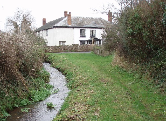
Image: © Barbara Cook Taken: 16 Jan 2006
Taken looking north from the footpath that loops back toward the main A39. The road in front of the house is Eastbury Hill, the B3191.
Images are licensed for reuse under creativecommons.org/licenses/by-sa/2.0
Image Location


Leaflet Map data © OpenStreetMap
Latitude
51.173175
Longitude
-3.414654