Horse tracks near Snailwell
Introduction
The photograph on this page of Horse tracks near Snailwell by Bob Jones as part of the Geograph project.
The Geograph project started in 2005 with the aim of publishing, organising and preserving representative images for every square kilometre of Great Britain, Ireland and the Isle of Man.

There are currently over 7.5m images from over 14,400 individuals and you can help contribute to the project by visiting https://www.geograph.org.uk
Horse tracks near Snailwell
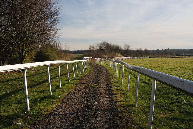
Image: © Bob Jones Taken: 1 Dec 2008
This track is too narrow for horses to use as a gallop, so it is probably used as a safe routeway from the nearby stud farm to the road. To the left of the track is a footpath that follows the route of a dismantled railway that used to link the stations at Newmarket and Ely.
Images are licensed for reuse under creativecommons.org/licenses/by-sa/2.0
Image Location
Latitude
52.264878
Longitude
0.41265