Kingston House
Introduction
The photograph on this page of Kingston House by Derek Harper as part of the Geograph project.
The Geograph project started in 2005 with the aim of publishing, organising and preserving representative images for every square kilometre of Great Britain, Ireland and the Isle of Man.

There are currently over 7.5m images from over 14,400 individuals and you can help contribute to the project by visiting https://www.geograph.org.uk
Kingston House
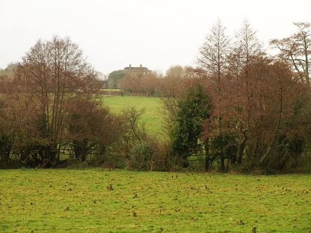
Image: © Derek Harper Taken: 27 Nov 2008
A distant glimpse of the country house from the lane between Bow Cross and Broadhempston, across the River Hems.
Images are licensed for reuse under creativecommons.org/licenses/by-sa/2.0
Image Location
Latitude
50.475977
Longitude
-3.700974