Double bend south of Ty Mawr
Introduction
The photograph on this page of Double bend south of Ty Mawr by Nigel Brown as part of the Geograph project.
The Geograph project started in 2005 with the aim of publishing, organising and preserving representative images for every square kilometre of Great Britain, Ireland and the Isle of Man.

There are currently over 7.5m images from over 14,400 individuals and you can help contribute to the project by visiting https://www.geograph.org.uk
Double bend south of Ty Mawr
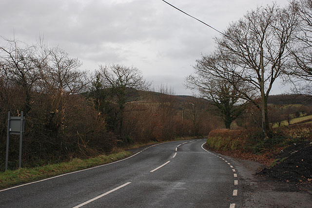
Image: © Nigel Brown Taken: 2 Dec 2008
The fairly straight portion of the B4337 hits a double bend just south of the village.
Images are licensed for reuse under creativecommons.org/licenses/by-sa/2.0
Image Location
Latitude
52.062696
Longitude
-4.124302