Duloe Village
Introduction
The photograph on this page of Duloe Village by roger geach as part of the Geograph project.
The Geograph project started in 2005 with the aim of publishing, organising and preserving representative images for every square kilometre of Great Britain, Ireland and the Isle of Man.

There are currently over 7.5m images from over 14,400 individuals and you can help contribute to the project by visiting https://www.geograph.org.uk
Duloe Village
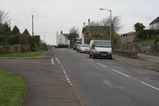
Image: © roger geach Taken: 29 Nov 2008
Looking towards Dobwalls this is the Village at Duloe. The road to the left is a newer estate built in the 70s.
Images are licensed for reuse under creativecommons.org/licenses/by-sa/2.0
Image Location
Latitude
50.401906
Longitude
-4.487783