2008 : Lane to Lipyeate
Introduction
The photograph on this page of 2008 : Lane to Lipyeate by Maurice Pullin as part of the Geograph project.
The Geograph project started in 2005 with the aim of publishing, organising and preserving representative images for every square kilometre of Great Britain, Ireland and the Isle of Man.

There are currently over 7.5m images from over 14,400 individuals and you can help contribute to the project by visiting https://www.geograph.org.uk
2008 : Lane to Lipyeate
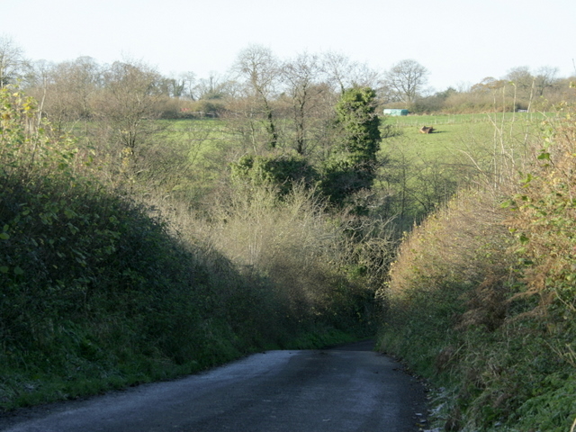
Image: © Maurice Pullin Taken: 25 Nov 2008
Then on to Holcombe or Highbury. The pasture land on the other side of the valley is near Hackmead Farm.
Images are licensed for reuse under creativecommons.org/licenses/by-sa/2.0
Image Location
Latitude
51.255956
Longitude
-2.447899