Bungalows at Burnbanks
Introduction
The photograph on this page of Bungalows at Burnbanks by Oliver Dixon as part of the Geograph project.
The Geograph project started in 2005 with the aim of publishing, organising and preserving representative images for every square kilometre of Great Britain, Ireland and the Isle of Man.

There are currently over 7.5m images from over 14,400 individuals and you can help contribute to the project by visiting https://www.geograph.org.uk
Bungalows at Burnbanks
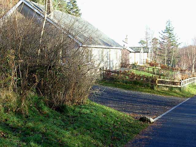
Image: © Oliver Dixon Taken: 29 Nov 2008
The construction of the dam and associated works at Haweswater throughout the 1930s required a large labour force which could not be sourced locally. Instead of a "navvy camp", Manchester corporation built a model village of 66 self-contained bungalows. Latterly, the remaining bungalows have been rebuilt and sold to private owners.
Images are licensed for reuse under creativecommons.org/licenses/by-sa/2.0
Image Location
Latitude
54.53775
Longitude
-2.764072