Bitham Park
Introduction
The photograph on this page of Bitham Park by Phil Williams as part of the Geograph project.
The Geograph project started in 2005 with the aim of publishing, organising and preserving representative images for every square kilometre of Great Britain, Ireland and the Isle of Man.

There are currently over 7.5m images from over 14,400 individuals and you can help contribute to the project by visiting https://www.geograph.org.uk
Bitham Park
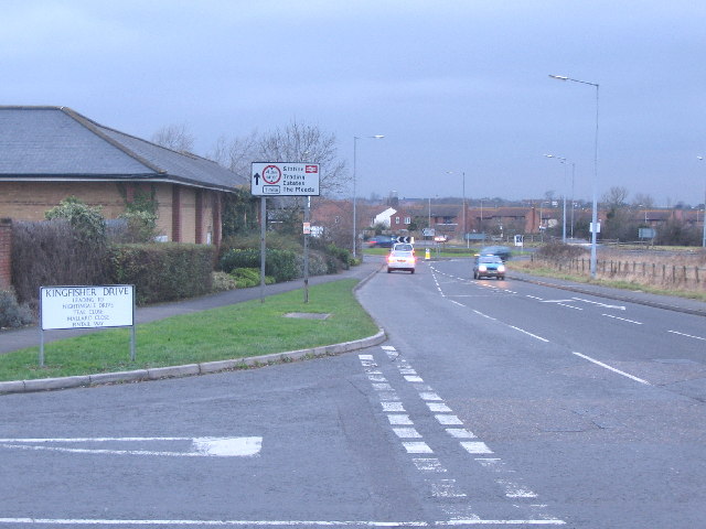
Image: © Phil Williams Taken: 13 Jan 2006
A view looking west along Bitham Park towards the Mead roundabout on the A350 Trowbridge Road, from the junction with Kingfisher Drive. The building on the left is the Westbury Co-operative store.
Images are licensed for reuse under creativecommons.org/licenses/by-sa/2.0
Image Location
Latitude
51.266118
Longitude
-2.179112