"Other route with public access" by Commonleys Farm
Introduction
The photograph on this page of "Other route with public access" by Commonleys Farm by David Hawgood as part of the Geograph project.
The Geograph project started in 2005 with the aim of publishing, organising and preserving representative images for every square kilometre of Great Britain, Ireland and the Isle of Man.

There are currently over 7.5m images from over 14,400 individuals and you can help contribute to the project by visiting https://www.geograph.org.uk
"Other route with public access" by Commonleys Farm
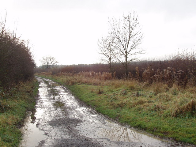
Image: © David Hawgood Taken: 28 Nov 2008
This ORPA leads from Waterperry Common, around via Drunkard's Corner to Waterperry. I guess it is a track where vehicle access is legal but discouraged - but a check with the highways authority would be needed to confirm that. There are no signs about its status on the track.
Images are licensed for reuse under creativecommons.org/licenses/by-sa/2.0
Image Location
Latitude
51.778286
Longitude
-1.111136