High Hill Road, Thornsett
Introduction
The photograph on this page of High Hill Road, Thornsett by michael ely as part of the Geograph project.
The Geograph project started in 2005 with the aim of publishing, organising and preserving representative images for every square kilometre of Great Britain, Ireland and the Isle of Man.

There are currently over 7.5m images from over 14,400 individuals and you can help contribute to the project by visiting https://www.geograph.org.uk
High Hill Road, Thornsett
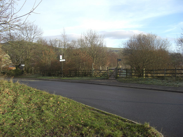
Image: © michael ely Taken: 30 Nov 2008
This is where the road is crossed by the Sett Valley Trail on the outskirts of Thornsett. The section of the trail through the gates leads to Birch Vale.
Images are licensed for reuse under creativecommons.org/licenses/by-sa/2.0
Image Location
Latitude
53.377064
Longitude
-1.986733