Eastern Boundary
Introduction
The photograph on this page of Eastern Boundary by Roger Gittins as part of the Geograph project.
The Geograph project started in 2005 with the aim of publishing, organising and preserving representative images for every square kilometre of Great Britain, Ireland and the Isle of Man.

There are currently over 7.5m images from over 14,400 individuals and you can help contribute to the project by visiting https://www.geograph.org.uk
Eastern Boundary
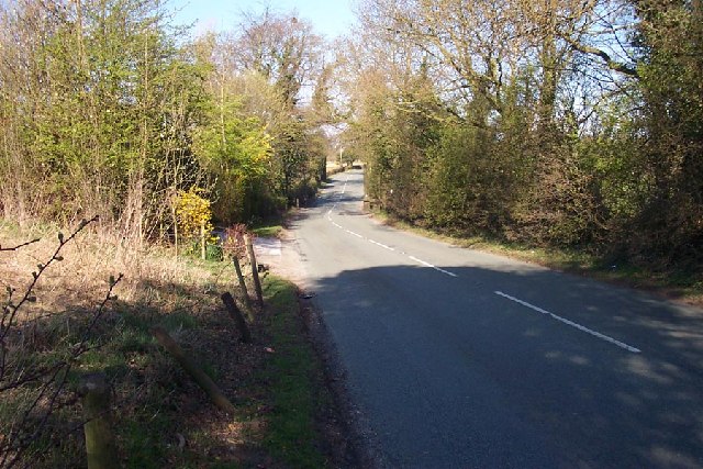
Image: © Roger Gittins Taken: 8 Apr 2003
Where the B5085 road crosses Whim Brook, the boundary between Mobberley (top) and Great Warford. View looking NW.
Images are licensed for reuse under creativecommons.org/licenses/by-sa/2.0
Image Location
Latitude
53.304904
Longitude
-2.285081