Footpath and road junctions
Introduction
The photograph on this page of Footpath and road junctions by David Anstiss as part of the Geograph project.
The Geograph project started in 2005 with the aim of publishing, organising and preserving representative images for every square kilometre of Great Britain, Ireland and the Isle of Man.

There are currently over 7.5m images from over 14,400 individuals and you can help contribute to the project by visiting https://www.geograph.org.uk
Footpath and road junctions
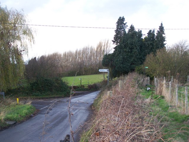
Image: © David Anstiss Taken: 27 Nov 2008
Upper footpath heading right leads to Newington, up Standard Hill. Footpath on left heads to Lower Hartlip and Hartlip through Chesley Farm. Path comes from Wormdale Farm. Wormdale Road from Danaway meets Bull Lane at junction. Bull Lane on right heads to Newington, and on left heads to Hartlip and Yelsted.
Images are licensed for reuse under creativecommons.org/licenses/by-sa/2.0
Image Location
Latitude
51.342229
Longitude
0.660831