Entrance to Queendown Warren
Introduction
The photograph on this page of Entrance to Queendown Warren by David Anstiss as part of the Geograph project.
The Geograph project started in 2005 with the aim of publishing, organising and preserving representative images for every square kilometre of Great Britain, Ireland and the Isle of Man.

There are currently over 7.5m images from over 14,400 individuals and you can help contribute to the project by visiting https://www.geograph.org.uk
Entrance to Queendown Warren
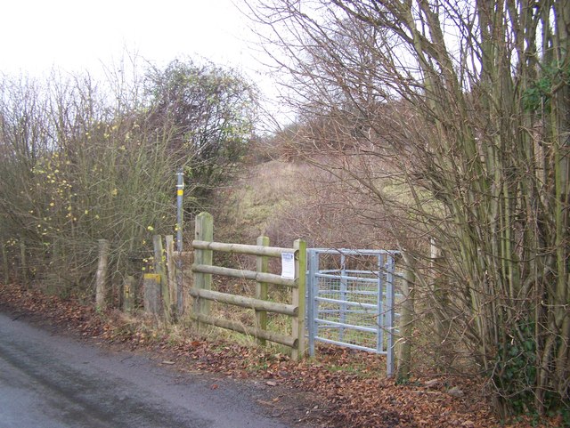
Image: © David Anstiss Taken: 27 Nov 2008
On Warren Lane. Footpath leads uphill to Matt Hill Road. Queendown Warren is a nature reserve run by the Kent Wildlife Trust. It is one of the last remaining chalk grasslands in Kent. Were common on downs, now just restricted to steep slopes of land. This south-facing side of a valley is an ideal habitat for plants and insects that like warm, dry conditions. This reserve is known for its ten species of orchids. Also important area for butterflies. It is dedicated to the memory of John Knight, who died in 1996 and was an active Plantlife Board member.
Images are licensed for reuse under creativecommons.org/licenses/by-sa/2.0
Image Location


Leaflet Map data © OpenStreetMap
Latitude
51.336436
Longitude
0.62661