Farmland, Hughenden
Introduction
The photograph on this page of Farmland, Hughenden by Andrew Smith as part of the Geograph project.
The Geograph project started in 2005 with the aim of publishing, organising and preserving representative images for every square kilometre of Great Britain, Ireland and the Isle of Man.

There are currently over 7.5m images from over 14,400 individuals and you can help contribute to the project by visiting https://www.geograph.org.uk
Farmland, Hughenden
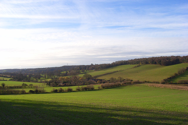
Image: © Andrew Smith Taken: 22 Nov 2008
Looking down from a footpath below Cryer's Hill. The valley has a mixture of farmland with cereal crops on this side of the valley and pastures on the other.
Images are licensed for reuse under creativecommons.org/licenses/by-sa/2.0
Image Location
Latitude
51.657026
Longitude
-0.749495