Poolbrook House
Introduction
The photograph on this page of Poolbrook House by Bob Embleton as part of the Geograph project.
The Geograph project started in 2005 with the aim of publishing, organising and preserving representative images for every square kilometre of Great Britain, Ireland and the Isle of Man.

There are currently over 7.5m images from over 14,400 individuals and you can help contribute to the project by visiting https://www.geograph.org.uk
Poolbrook House
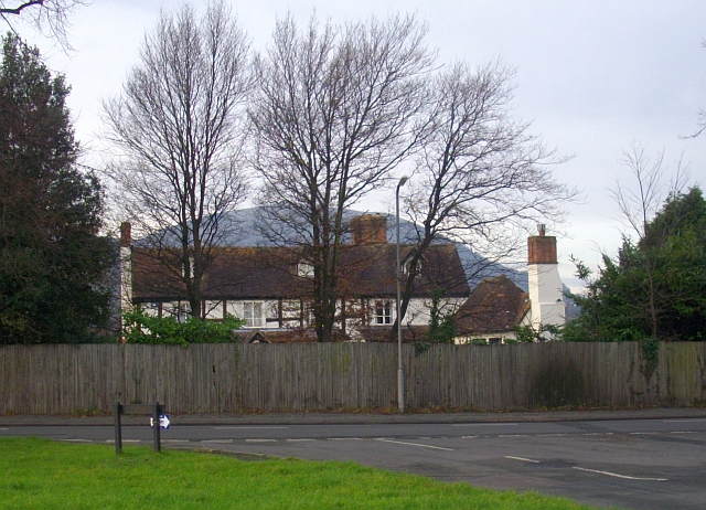
Image: © Bob Embleton Taken: 30 Nov 2008
It appears on an 1820s estate map and on 19th century OS maps it was called Peckham Grove. Here Bredon Grove meets the Poolbrook Road on the common.
Images are licensed for reuse under creativecommons.org/licenses/by-sa/2.0
Image Location


Leaflet Map data © OpenStreetMap
Latitude
52.099873
Longitude
-2.308569