Lane at Cwm Ceste
Introduction
The photograph on this page of Lane at Cwm Ceste by Graham Horn as part of the Geograph project.
The Geograph project started in 2005 with the aim of publishing, organising and preserving representative images for every square kilometre of Great Britain, Ireland and the Isle of Man.

There are currently over 7.5m images from over 14,400 individuals and you can help contribute to the project by visiting https://www.geograph.org.uk
Lane at Cwm Ceste
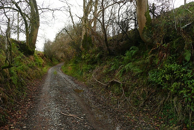
Image: © Graham Horn Taken: 24 Nov 2008
The lane links a byway to the north with the C road at New Cwmceste. Clearly this white road has public status, but the OS feels it necessary to show the dotted "other routes with public access" symbol.
Images are licensed for reuse under creativecommons.org/licenses/by-sa/2.0
Image Location
Latitude
52.183676
Longitude
-3.203992