Manswood: phone box in Crichel Lane
Introduction
The photograph on this page of Manswood: phone box in Crichel Lane by Chris Downer as part of the Geograph project.
The Geograph project started in 2005 with the aim of publishing, organising and preserving representative images for every square kilometre of Great Britain, Ireland and the Isle of Man.

There are currently over 7.5m images from over 14,400 individuals and you can help contribute to the project by visiting https://www.geograph.org.uk
Manswood: phone box in Crichel Lane
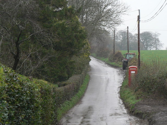
Image: © Chris Downer Taken: 30 Nov 2008
This section of Crichel Lane coincides almost exactly with the gridline between this square and the one to the south.
Images are licensed for reuse under creativecommons.org/licenses/by-sa/2.0
Image Location


Leaflet Map data © OpenStreetMap
Latitude
50.871498
Longitude
-2.023398