The End of Windermere Rd
Introduction
The photograph on this page of The End of Windermere Rd by Glyn Baker as part of the Geograph project.
The Geograph project started in 2005 with the aim of publishing, organising and preserving representative images for every square kilometre of Great Britain, Ireland and the Isle of Man.

There are currently over 7.5m images from over 14,400 individuals and you can help contribute to the project by visiting https://www.geograph.org.uk
The End of Windermere Rd
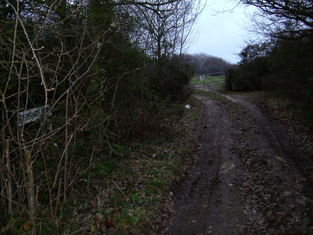
Image: © Glyn Baker Taken: 15 Jan 2006
This dirt track glories in the name of Windermere Rd! (the sign can be seen in the bushes to the left). There is a bridleway that passes from left to right in front of the gate.
Images are licensed for reuse under creativecommons.org/licenses/by-sa/2.0
Image Location
Latitude
51.572508
Longitude
0.574389